Project snapshot
The risk of natural hazards is constantly increasing, causing severe losses annually. Our client, a leading global provider of reinsurance, primary insurance, and insurance-related risk solutions, aims to significantly reduce these losses. Forewarned is forearmed — with over forty years of risk assessment experience, the company provides hazard scores for volcanoes, earthquakes, cyclones, and wildfires and covers extraordinary risks such as cyber attacks or pandemics.
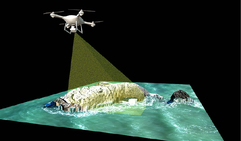
How does Intellias help? Together with our client, we are implementing a location and data risk intelligence platform for assessing the risks of natural disasters and climate change scenarios based on GIS data modeling.
The International Emergency Events Database (EM-DAT) reports more widespread natural disasters and hazards that caused losses of over $250 billion worldwide in 2021. Only $120 billion in total losses were insured.
Business challenge
The client’s request was to enable easy on-demand management of risks from natural hazards, eliminating potential complexities. For this purpose, Intellias is developing a location risk suite that provides access to quality data, delivers comprehensive location risk analysis, and generates reliable reports.
Solution overview
In tight cooperation with our client, Intellias is working on R&D and implementing a new product line. We have created a risk suite that comprises two products:
- a location risk intelligence platform for high-quality risk assessment and management of natural disasters and changes in global or regional climate patterns
- a data risk intelligence platform for highly efficient risk-based data protection and IT security management, including third-party risk assessment and global data transfer in accordance with regulatory requirements

______
Check out the full article here.

